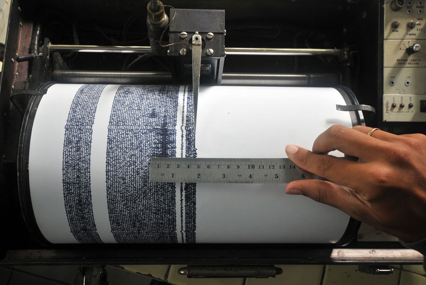
REPUBLIKA.CO.ID, DENPASAR -- The Metereology, Climatology, and Geophysics Agency (BMKG) said a strong 4.8 magnitude tectonic earthquake struck off a number of areas in Bali and West Nusa Tenggara. However, the earthquake did not have tsunami potential.
“This earthquake is an intermediate earthquake due to Indo-Australian plate subduction activity under the Eurasian plate," said BMKG Denpasar Region III head Taufik Gunawan on Monday (July 16).
According to Taufik, the analysis was obtained after observing the depth of hypocenter that was 111 kilometers. Meanwhile, the epicenter point was located located at coordinates 8.89 south latitude and 115.38 east longitude.
“The exact location is at a distance of 25 kilometres southwest of Klungkung, Bali,” Taufik added.
The earthquake in a number of areas of Bali and West Nusa Tenggara happpened at around 7.48 WITA (Indonesia Central Standard Time). People in Denpasar, Gianyar, Nusa Dua, and Kuta, to Mataram and Central Lombok felt the shock.
Based on the analysis, the earthquake did not have tsunami potential. BMKG observed the quake did not demonstrated any aftershock activity.
Last Friday (July 14), an earthquake measuring 4.1 on the Richter scale shook Central Lombok district in West Nusa Tenggara province. The epicenter of the quake which struck at 01.36 p.m local time was in the sea some 32 kilometers southwest of Central Lombok at a depth of 79 kilometers, according to BMKG.


