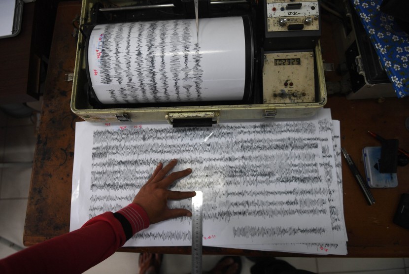
REPUBLIKA.CO.ID, BALIKPAPAN -- The Indonesian government plans to install five more seismographs on Kalimantan Island. Chief of the Meteorology, Climatology, and Geophysics Agency (BMKG) Office in Balikpapan, Mugianto, stated that here on Tuesday.
Currently, 12 seismographs are installed along the eastern coast of Kalimantan, from the south to the north or from South Kalimantan, to East Kalimantan and North Kalimantan. The five seismographs are the result of assistance from the German and Japanese governments.
He said the data recorded by the instruments will be directly sent to BMKG. If the data indicate potential disastrous earthquakes and tsunamis or tidal waves, then the result of its analysis will be sent to the Center for Control and Operation of BMKG, the Indonesian military, and police.
"By doing so, the procedure could be conducted soon, including calling for preparedness of the local government and public," he stated.
He said the eastern part of Kalimantan has the potential to experience earthquakes and tsunamis, although it was relatively small. The active faults in the eastern side of Kalimantan are the Sangkulirang-Mangkalihat fault in East Kutai and Semporna fault in Sabah, north of Tarakan Island.
In the past couple of years, the BMKG had recorded a 4.5-magnitude earthquake on May 3, 2018, in Long Kali, Paser. The quake was centered at 1.96 degrees southern latitude and 115.83 degrees eastern longitude, at a depth of 10 kilometers.


