
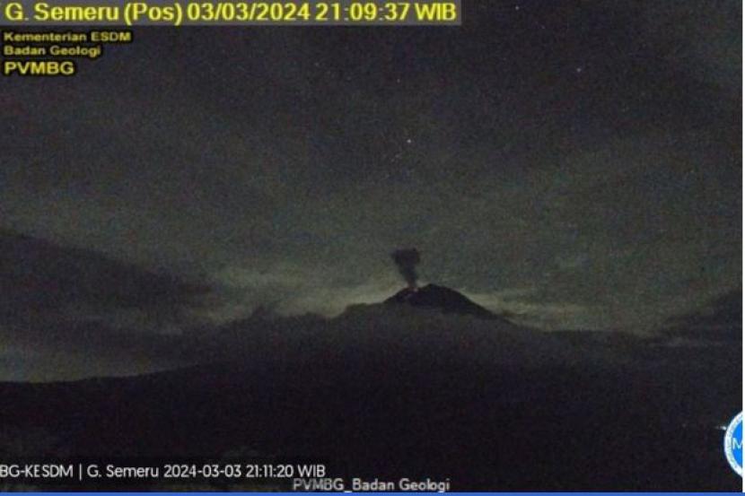
REPUBLIKA.CO.ID, LUMAJANG -- Mount Semeru, located on the border of Lumajang and Malang Regency, East Java, erupted again with an eruption 700 meters high above the summit on Friday at 03.31 WIB.
“There was an eruption of Mount Semeru on Friday, April 12, 2024, at 3:31pm. The height of the eruption column was observed to be about 700 meters above the summit or 4,376 meters above sea level,” Semeru Mountain Observation Post Officer Mukdas Sofian said in a written statement received in Lumajang on Friday (12/4/2024).
According to him, the observed volcanic ash column is white to gray in color with thick intensity towards the southwest and west. The eruption was recorded on a seismograph with a maximum amplitude of 22 mm and a duration of 186 seconds.
According to the reports of the earthquake observations on Friday at 00.00-06.00 WIB, 10 eruption/eruption earthquakes with an amplitude of 10-22 mm were recorded, and the duration of the earthquake was 48-187 seconds.
Then four times the earthquake gusts with an amplitude of 3-5 mm and an earthquake duration of 55-57 seconds. Five times harmonic earthquake with an amplitude of 4-15 mm and an earthquake length of 327-1129 seconds.
Further one-time deep volcanic earthquakes with an amplitude of 10 mm, S-P of 3 seconds and a duration of earthquakes of 25 seconds, as well as six times distant tectonic earthquakes with an amplitude of 3-32 mm, S-P of 14-69 seconds and a duration of earthquake of 40-153 seconds.
Mount Semeru is still on alert status or level III, so the Center for Volcanology and Geological Disaster Mitigation (PVMBG) has issued a recommendation that people be prohibited from any activity in the southeastern sector along Besuk Kobokan, 13 km from the summit (eruption center).
Outside this distance, people are asked not to do activities at a distance of 500 meters from the river bank (river border) along Besuk Kobokan because of the potential for expanding hot clouds and lava flows up to 17 km from the summit.
People should not operate within a radius of 5 km from the crater/peak of Mount Semeru because it is prone to the danger of throwing stones (incandescent materials).
The public is also urged to be aware of the potential for hot clouds, lava falls, and lava flows along streams whose waters flow upstream at the top of Mount Semeru, especially along Besuk Kobokan, Besuk Bang, Besuk Kembar, and Besuk Sat as well as the potential for lava in small rivers that are tributaries of Besuk Kobokan.
