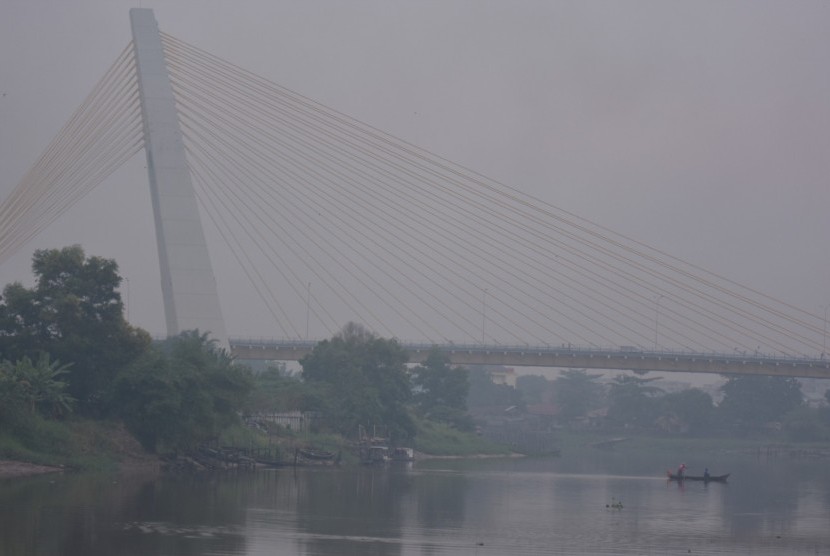
REPUBLIKA.CO.ID, PEKANBARU -- Haze from forest and land fires blanketing Pekanbaru City, Riau Province, since Tuesday morning, has reduced visibility, an official of the Meteorology, Climatology, and Geophysics Agency (BMKG) of Pekanbaru Station stated.
Data indicated that hotspots were mostly found in Pelalawan that lies in proximity to Pekanbaru. "The wind is blowing from the southeast direction, at a speed of 10-30 kilometers per hour, toward Pekanbaru," an analyst of BMKG Station in Pekanbaru, Yasir told Antara, here, Tuesday, adding that the smog arose from land fires in Pelalawan District.
He said visibility decreased due to the smoke, but there were no reports of any disruption to flight activities at the Sultan Syarif Kasim II Airport. "Between 7 and 9 a.m. local time, visibility had reached four to five kilometers," he noted.
Based on the Pekanbaru BMKG data, the Terra Aqua satellite image at 6 a.m. local time showed that 138 hotspots were monitored in Sumatra indicating forest and land fires. Riau Province had the highest number of hotspots, reaching 60; followed by 30 in Jambi; and 16 in Bangka Belitung. Pelalawan District in Riau recorded the highest number of hotspots, reaching 30; followed by 15 in Indragiri Hilir; eight in Rokan Hilir; two each in Bengkalis and Indra Hulu; and one each in Kampar, Kuansing, and Siak.
Of the figure, 33 were identified as firespots. The highest number of hotspots were found in Pelalawan, reaching 19; followed by five each in Rokan Hilir and Indragiri Hilir; two in Bengkalis; and one each in Kampar and Indragiri Hulu.
This is the third time in the past week that smog has engulfed Pekanbaru. Earlier, only thin smoke covered Pekanbaru in the morning and gradually disappeared during the daytime. However, until around 10:40 a.m. local time on Tuesday, thick smog still covered Pekanbaru.


