REPUBLIKA.CO.ID, PEKANBARU -- The Terra and Aqua satellites detected 214 hotspots in eight provinces across Sumatra Island on Tuesday, at 5 a.m. local time.
"Jambi and South Sumatra are the largest contributors, with 94 and 75 hotspots respectively," Sugarin, the head of the Pekanbaru meteorology station, stated here on Tuesday.
Riau has 20 hotspots; Bangka Belitung has 15 hotspots; Bengkulu, West Sumatra, and Lampung respectively have three hotspots; and North Sumatra has one hotspot.
In Riau, 10 hotspots were found in Indragiri Hulu, four in Kampar, and three respectively in Singingi and Pelalawan districts.
"Of the 20 hotspots, 12 were believed to have an accuracy rate of above 70 percent," he noted.
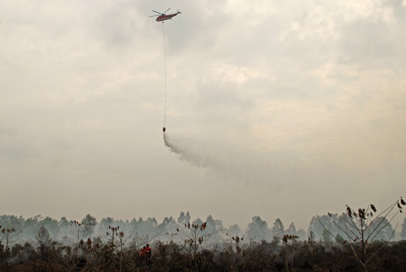
Earlier, the Riau forest fire task force unit had conducted water bombings to extinguish the wildfires.
Two helicopters, Sikorsky and MI 17, were deployed in the operation, Edwar Sanger, the head of the Riau disaster mitigation office (BPBD) remarked.
Data until July 26, 2015, revealed that 1,246 hectares of forest, peatland, and plantation areas had been gutted down by the fires in Riau.
Of the total area ravaged by fires, 400 hectares were in Rokan Hilir, 232 hectares in Pelalwan, 177 hectares in Bengkalis, and 124 hectares in Dumai.


