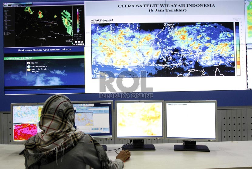
REPUBLIKA.CO.ID, AMBON -- A moderate intensity quake, measuring 5.1 on the Richter scale, hit the West Maluku Tenggara district on Wednesday, at 2:27 p.m. local time, according to the Maluku province's Meteorology, Climatology and Geophysics Agency (BMKG).
The quake was centered at 6.58 southern latitude and 130.15 eastern longitude, at a depth of 209 kilometers below sea level.
"Many people fled their houses and buildings, fearing that the structures may collapse as a result of the earthquake," Tonny Luturmas, a local resident stated.
The Maluku province is located near the meeting point of three big tectonic plates in the world: the Pacific, Indo-Australian, and Eurasian. This makes the Maluku province as one of the most earthquake and tsunami prone areas in Indonesia.


