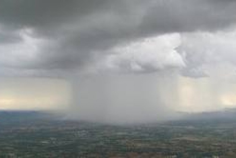
REPUBLIKA.CO.ID, PALEMBANG -- The Government of South Sumatra Province is currently intensifying Weather Modification Technology (WMT) by sprinkling salt over clouds to prevent widespread land and forest fires. Agency for the Assessment and Application of Technology Chief for Weather Modification Sutrisno remarked here on Tuesday that the implementation of WMT in the context of handling land and forest fires in South Sumatra is still ongoing.
"We continue to work through the Air Task Force to look for clouds that have the potential to bring rain until now," Sutrisno noted.
According to Sutrisno, since September 14, 2018, until this day, the weather conditions are relatively dry, making it difficult for the team to conduct WMT.
"The clouds cannot develop properly, as the conditions are very dry. After cloud seeding, some clouds will form, but at times, they disperse and get evaporated again due to low humidity in the air and dry weather conditions," he noted.
Also read: 87 hotspots detected in four Sumatran provinces
He explained that in contrast to previous days, cloud growth was relatively better, so the team had many choices of spraying salt over clouds. "The weather conditions have a cycle, and in the past few days, it was quite dry but in the next couple of days, it will likely improve again," he noted.
Based on predictions, such dry weather conditions are expected to occur until the next few days. In such dry conditions, conducting water bombing using helicopters becomes dominant.
Furthermore, Sutrisno said it was estimated that from September 19, 2018, weather conditions would improve again, with a marked cloud growth, so that WMT can yield optimal results.
Earlier, on Monday, forest and land fires occurred in the east cross road of Palembang, Inderalaya, and Ogan Ilir, which was estimated to ravage tens of hectares of land.
The Terra and Aqua satellites detected a total of 801 hotspots, indicating forest and plantation fires, across Indonesia. The hotspots were of moderate- and high-risk categories, Sutopo Purwo Nugroho, spokesman of the National Disaster Mitigation Agency (BNPB), noted in a statement on Monday. In West Kalimantan Province, 272 hotspots were detected.
"Of the 272 hotspots, 149 are categorized as moderate and 123 as high risk," he stated.


