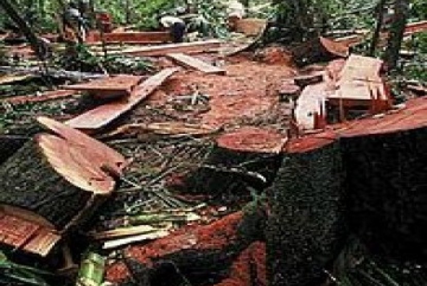
REPUBLIKA.CO.ID, JAKARTA - The Ministry of Forestry has applied Synthetic Aperture Radar (SAR) remote sensing technology to track illegal logging activities in Indonesia, the ministry representative Ruandha Agung Sugardiman said on Tuesday.
"The radar system is used to observe what actually happens on the field," Sugardiman said.
He explained that the SAR remote sensing technology could determine whether any change has occurred in the forest because of illegal logging within one week. Sugardiman remarked that the technology could also provide a clear map of the national forest free of clouds.
"The area covered with clouds poses the greatest challenge while observing a map of the forest," he said.
He pointed out that the level of accuracy of the technology had reached 85-87 percent.
"When adjusted to a particular location, data accuracy reaches 90 percent," he noted.
On Tuesday (Sept.9), BPPT and UKP4 had invited ministries, government agencies, industry providers, experts, and scholars to participate in a national workshop to discuss the progress and application of geospatial information technology in Indonesia.


