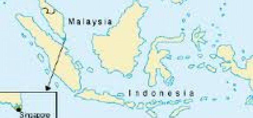
REPUBLIKA.CO.ID, BANDUNG – More than a thousand members of Indonesian National Armed Forces will join Ekspedisi Khatulistiwa 2012 (Equatorial Expedition 2012) to verify Indonesian border and enrich the mapping of national territory. “It includes adding the names, verifying name and border in the map,” a geographical expert from Universitas Gadjah Mada (UGM), Zulkarnaen, said last weekend.
Experts, mass media, and academics were also involved in the expedition, Army Special Force (Kopassus) Commander Major General Wisnu Bawatenaya as the commander of Ekspedisi Khatulistiwa 2012 said. The expedition includes exploration, research, and orangutan rescue. About 1,126 of Indonesian army will join the expedition and 486 of them are from the headquarters of Indonesian National Armed Forces.
The journey with the distance of 2,000 kilometers and cross four provinces in Kalimantan will be conducted more than three months. The expedition in West Kalimantan starts from Sambas, Sangau, and Kapuas Hulu. In Central Kalimantan, it covers Murung Raya, while in East Kalimantan covers Nunukan, Malinau, and Kutai Barat. And the last in South Kalimantan covers Hulu Sungai Tengah.


