REPUBLIKA.CO.ID, SOLO -- The Meteorology, Climatology, and Geophysics Agency (BMKG) reported here on Thursday that 2.5- to four-meter-high tides may hit several parts of Java Sea to Banda Strait and may affect the return flow of Lebaran 2018. Due to an increase in speed of the eastern winds, reaching 46 kilometers per hour, the agency predicted that the high tides will last until June 26.
"The eastern part of Java Sea, southern region of Makassar Strait, Banda Sea, Arafuru Sea, and southern part of Java Sea until the waters in East Nusa Tenggara Province will experience high waves," the agency remarked in a statement.
Due to the rising waves on several transportation routes, the agency noted that the high tides may affect the return flow on June 20-26. Moderate tides, measuring 1.25 to 2.5 meters in height, may hit the northern part of Malacca Strait, western part of Aceh waters, western part of Simeuleu Island to Mentawai Islands, waters in Enggano Island, Bengkulu, southern part of Sawu Island to Rote Island, and Kupang.
Sumba Strait, Omba Strait, Sawu Sea, Timor Sea, western and central parts of Java Sea, the northern waters of East Java to Kangean Island, Flores Sea, eastern waters of Southeast Sulawesi, and waters in Sermata Islands to Tanimbar Island also will experience the same, the agency stressed.
It further reported that the waters in Maluku's Kai Islands and Aru Islands, southern waters of Ambon, and eastern part of Arafuru Sea, among others, will experience moderate tides.
The waters of Sabang, western part of Lampung, southern part of Sunda Strait, eastern part of Java Sea, southern part of Makassar Strait, southern Java Sea to Sumba Islands, southern part of Bali Strait, southern Lombok Strait, southern Alas Strait, Banda Sea, and central and western parts of Arafuru Sea, among others, might experience rough weather, with waves reaching 2.5 to four meters in height.
"The crossings from Merak Port in Banten Province to Bakaheuni Port in Lampung as well as in Ketapang, East Java, to Gilimanuk, Bali, are relatively safe, as the sea tides reach 0.25 to 0.75 meters high. However, on the crossing routes from Gresik to Bawean Island and Sabang Island to Banda Aceh, the sea tides may reach two to 2.5 meters high," the agency emphasized.
Following predictions on rough sea tides during the return flow, the agency has called on ship operators and passengers to remain vigilant. Ship operator should ensure the availability of safety equipment before crossing between islands.
"The agency will provide round-the-clock updates and notices on extreme weather and high sea tides through the call center by calling 0216546315/ext. 18 or on the official website maritim.bmkg.go.id," the agency stated.
Apart from the hotline numbers, the agency will provide updates on its official Twitter account @InfoBMKG as well as mobile application "Info BMKG" made available in iOs and Android systems.
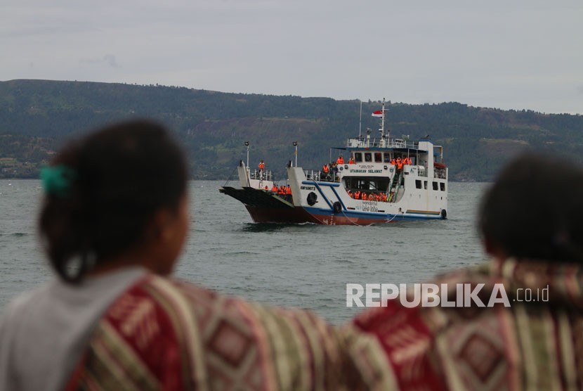
Earlier, MV Sinar Bangun capsized in Lake Toba waters, North Sumatra on Sunday. The captain ignored weather warning issued twice by BMKG. The boat also allegedly overloaded, carrying 206 people while its capacity was 43 passengers.