REPUBLIKA.CO.ID, JAKARTA -- The Terra Aqua satellite of NASA detected 1,820 hotspots of land and forest fires in Sumatra and Kalimantan islands on Sunday, the National Disaster Mitigation Agency (BNPB) said.
Of the total, 1,563 were found in Sumatra and 257 in Kalimantan, the head of the BNPB's Information Data Center and Public Relations, Sutopo Purwo Nugroho, said here on Monday.
He said 1,340 of the 1,563 hotspots in Sumatra were found among others in South Sumatra, nine in Riau, 131 in Jambi, 22 in Bangka Belitung, 57 in Lampung and one in Riau Islands.
He added that 51 of 257 hotspots in Kalimantan were found in West Kalimantan, 108 in Central Kalimantan, 71 in South Kalimantan and 27 in East Kalimantan.
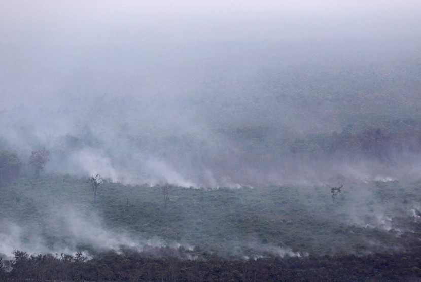
The increasing number of hotspots from land and forest fires has led to the haze disaster.
"The haze has reduced visibility and disrupted flights," he said.
On Sunday at 05.00 p.m., visibility in Pekanbaru was 500 meters, in Jambi 500 meters, in Palembang 700 meters, in Ketapang 800 meters, in Sintang 400 meters, in Pontianak 1,000 meters, and in Palangkaraya it was 100 meters.
"The quality of air based on ISPU also shows unhealthy level of pollution making it hazardous for humans' health," he said.
The BNBP is deploying seven helicopters and planes to conduct water bombing operations to put out land and forest fires in South Sumatra.
"Based on Terra and Aqua satellite from NASA, there were 1,340 hotspots in South Sumatra on Sunday," he said.